
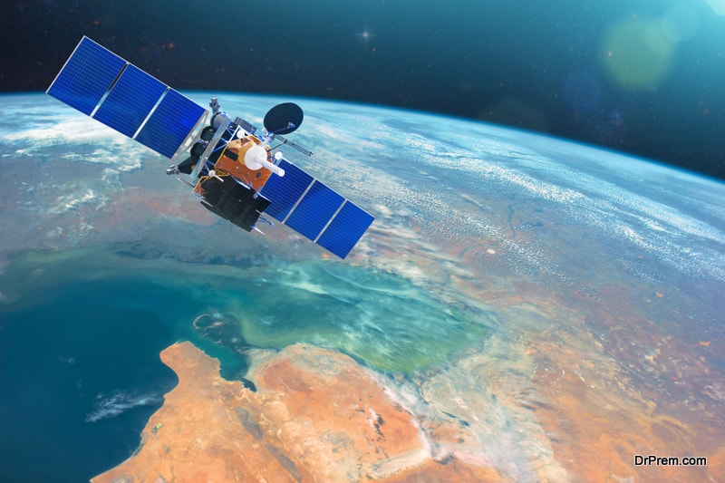
Technology is rapidly taking the assisting place for the cause of the environment, not to mention the satellites. To better understand the global warming related parameters, the Earth observation satellites are put to intense use, letting the scientists to study their impact on the planet.
To get an answer to this, scientists met at the 2007 Envisat Symposium this week. Climate not just influences the cryosphere, but let it influence itself as well. To scale the climate change’s impact better, researchers are more and more concentrating on the cryosphere.
This is needed, because, with the ice sheets’ melting rate increasing, the glaciers may eventually raise the sea level. Not just that, the sea-ice melting phenomenon will also increase the amount of solar radiation’s absorption by the ice-free polar oceans, and not reflect ice-covered oceans. This is lead to the increase in the ocean temperature for devastative after-effects.
Thanks to the satellites and radars that make the study of the remote, dark and cloudy Earth’s Polar Regions easy. The instrument — Advanced Synthetic Aperture Radar – with its capability of piercing through clouds and darkness helps Envisat in producing high-quality images of ice sheets.
Even, to map the glaciers’ flow velocities, the repeat-pass ASAR image data are of great help. It let the scientists find that all the glaciers — where the buttressing ice had disappeared — have accelerated significantly.
With more and more technology like radars and satellites getting into the job of finding the nature’s state at far points impossible for man to reach physically, steps to find better and quicker solution to repair or save our environment will get easier.
Image Credit: Universe Today