

MoMA has collaborated with P.S.1 in order to find solutions to sea level changes that are expected for Manhattan shores. Earlier this year the New York City Panel on Climate Change predicted that global warming could lead to an increase in the level of New York’s waterfronts, which could have disastrous results. To deal with such an unwanted situation, both the museums have come together to find artful solutions.

MoMA and P.S.1 launched its eco-friendly initiative named “Rising Currents” yesterday. Under this scheme, teams of architects, engineers and landscape architects were invited, who could suggest soft infrastructure solutions to rising waters in four different locations on the New York and New Jersey waterfronts. The project that kicked off yesterday with an eight-week artist in residence program at P.S.1 will be brought to close with an exhibition of the design proposals at MoMA from March 24th through August 10th, 2010.

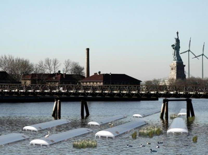
A total of four teams have been selected to take part and will be allotted different areas for investigation. The jury who selected the teams included Amanda Burden, Chair of the New York City Planning Commission and Director of the Department of City Planning; architect David Adjaye; Michael Oppenheimer, Milbank Professor of Geosciences at Princeton University, and Guy Nordensen. Out of the four selected participants Paul Lewis, Marc Tsurmaki, and David Lewis of LTL architects will take over the Northwest Palisades Bay/Hudson River area, which includes parts of New Jersey, Liberty Park/Ellis Island and the Statue of Liberty and waters.

Matthew Baird of Matthew Baird Architects will investigate the Southwest Palisades Bay/Kill van Kull area, which include Bayonne N.J., Bayonne Piers and Northern Staten Island and waters. Eric Bunge and Mimi Hoang of nARCHITECTS will focus on the South Palisades Bay area, which includes the waters of the Verrazano Narrows area including eastern Staten Island, and Bay Ridge and Sunset Park in Brooklyn. The last area for investigation has been given to Kate Orff of SCAPE Studio and her team, which will work on the Northeast Palisade Bay/Buttermilk Channel and Gowanus Canal including Governor’s Island, the Red Hook area in Brooklyn and its waters.

Via: WorldArchitectureNews