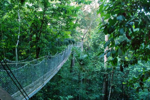
The Iwokrama forest covers a total area of about 3710 square kilometers of central Guyana lying in the heart of the Guiana Shield. It represents an important evolution zone that includes landforms, rainfall and biological communities. The George-Lethem Road crosses the forest passing about 72km between the northeastern and southern boundaries. To the west, Pakaraima Mountains borders the forest, and to the eastern side lays the isolated islands spread over Suriname, central-east Guyana and French Guiana. The southern and northeast part is bordered by Savannahs while southwestern is surrounded by Suriname. The three main rivers flowing through the forest are Essequibo River that forms the eastern boundary, Siparuni River that forms the northern boundary and Burro-Burro that runs through the centre.
The area dominated by the lowland tropic forest is covered with tall tropical trees. Ecosystem of the forest is situated at the center point of Amazonian and Guianan flora and fauna. Varieties of species are present, some of them are endangered such as Giant Anteater. The focal point of the forest is the Iwokama Mountain that is at a height of 1000m. The forest is being protected and preserved under Iwokrama International Center for Rain Forest Conservation and Development.
Image Source : Flickr│Berzerker


